Company
Ozona Systems.
We make Outspan, a trip planning app for road trips, back roads and trails. It's built with a privacy- and security-centric architecture.
We make Outspan, a trip planning app for road trips, back roads and trails. It's built with a privacy- and security-centric architecture.
It plans trips, warns you about floods, fires, closures and storms on your route, and gives turn-by-turn directions. The basics work without signal.
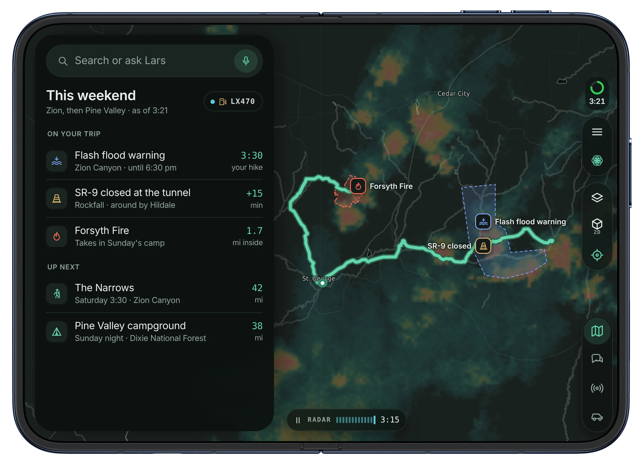
We don't sell it, and we don't train on it.
Built and tested in places without cell service.
You pay for Outspan, so we don't need to sell you.
We answer our own email.
We developed Outspan out of necessity and frustration with existing navigation solutions.
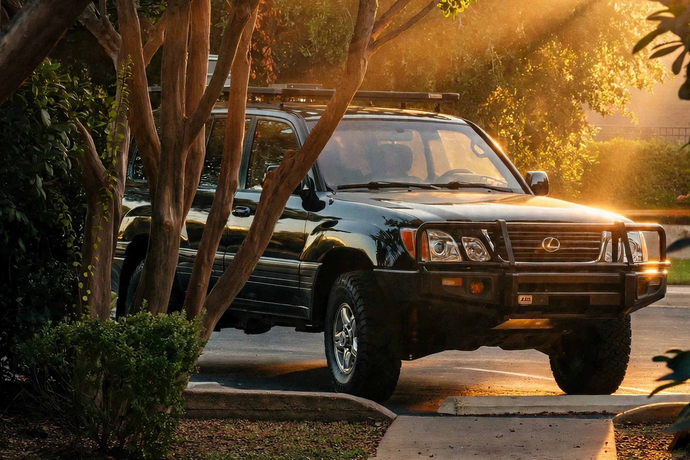
Outspan started in an old Lexus LX470, on trips through southern Utah. Out there the phone often has no signal, and the navigation apps we used didn't know about a fire near the trailhead, a flash flood warning over the canyon or a closed road until we got to it. So we built a map that checks the trip for those things before we leave, and keeps working when the signal drops.
Email us and we'll send the deck.
This page isn't an offer to sell securities.